
collection is a visually rich, easy‑to‑navigate catalog of global symbols. It distills each nation’s identity into a clear, standardized flag entry, offering both aesthetic comparison and cultural understanding.
What the 2020 Maps Represent
- Country Maps — Each nation includes a political map showing borders, major cities, and neighboring states. These maps help readers situate countries geographically and understand regional relationships.
- Regional Maps — Broader regional maps (e.g., Africa, Europe, Asia) illustrate continental divisions, major landforms, and geopolitical groupings.
- Thematic Maps — Some editions include maps highlighting climate zones, natural hazards, or environmental features, supporting the Factbook’s sections on geography and environment.
- World Overview Maps — Global maps show oceans, continents, and major physical features, aligning with the Factbook’s explanations of Earth’s land–water distribution and ocean basins.
🌍 Purpose of the Maps
- Visual Context — Maps help readers interpret country data—population, economy, environment—within a spatial framework.
- Geopolitical Insight — Borders, disputed areas, and strategic locations are easier to understand visually.
- Educational Use — Students, journalists, and travelers rely on these maps for quick orientation and comparative study.
🧭 Overall Summary
The World Factbook 2020 maps provide a unified, easy‑to‑read visual layer across all country and regional profiles. They support the Factbook’s mission to deliver clear, authoritative geographic and geopolitical information through consistent cartographic design and up‑to‑date boundary data.
If you want, I can also create a region‑by‑region summary or a comparison of map styles across editions.
Please do same the thing for “World Factbook 2020 For All Flags”
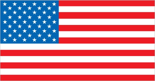
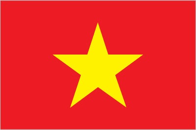
The World Factbook 2020 “Flags” section provides a compact visual reference to every national flag, explaining each design’s symbolism, colors, and historical origins. It complements the country profiles by showing how nations express identity through their official emblems.
🚩 What the 2020 Flags Section Includes
- National Flags — Every sovereign state’s flag is displayed with a short explanation of its colors, shapes, and symbols. These descriptions highlight themes like unity, independence, religion, or natural features.
- Dependent Territory Flags — Territories and special administrative regions have their own entries, showing how local identity differs from the governing state.
- Historical and Symbolic Notes — Many entries include brief notes on when the flag was adopted and what its elements represent (e.g., stars for states, stripes for unity, colors tied to liberation movements).
- Consistent Visual Format — All flags are presented in a standardized layout, making it easy to compare proportions, color palettes, and design styles across countries.
🌍 Purpose of the Flags Section
- Cultural Insight — Flags reveal national values, historical struggles, and cultural identity at a glance.
- Quick Reference — Useful for students, travelers, journalists, and researchers who need fast visual identification.
- Comparative Study — The uniform presentation helps readers spot regional design trends, such as Pan‑African colors, Nordic crosses, or Arab tricolor patterns.
World Factbook Flags 2020 – Part II
World Factbook Flags 2020 – Part I